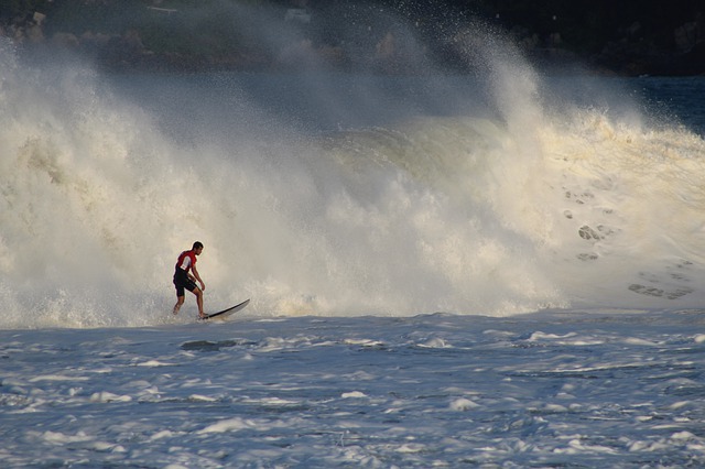
Whitewater paddlers love numbers. Get a group of them together and inevitably you’ll hear statements like, “ it was big, like 5.6” or “it sucked, 600 cfs”, or “I was paddling Rapid 9 with my 35 degree, 198,in my 1.5, at 600 cfs – that’s 1.2 at the bridge.”
While this numerical shorthand certainly speeds up communication between those in the know, it leaves everyone else – prepare yourself – in the snow. It is also the major reason that non-paddlers tend to leave paddler-dominated parties about a half-hour after they arrived.
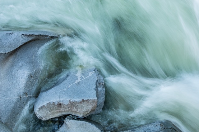
For a beginning paddler trying to figure out what’s what, the shower of numbers is overwhelming. And that can mean trouble. Especially when your confused by the numbers related to “streamflow”, roughly translated in whitewater-speak as “the amount of water in a swollen, potentially life-threatening cataract of a river that your about to navigate.”
But beginners aren’t the only paddlers whose grasp on stream flow measurements needs work. Even old hands get into bad habits or make poorly-based assumptions. In particular, it is very common to assume that “stream stage” (usually referred to as “the level”) and “stream discharge” (sometimes called “volume” or “the flow”) are essentially the same thing, or that knowing the stage is equivalent to knowing the discharge. But this is a fallacy, because the relationship between the two is – sorry I can’t help myself – fluid.
Even kayakers who understand the difference between stage and discharge might not know how they are actually measured. So to start off, we’ll take a look at how you describe a river in terms of numbers, and how those measurements are generated on a daily basis (in the US).
Stream discharge
Rivers aren’t lakes. Lakes are boring, they just sit there. Rivers, on the other hand, move – a lot faster than lakes. The water flows, thanks to gravity and a sloping earthen channel, and lots of people, from scientists and fishermen, to us paddlers, want to know how much of it and how fast. We want to know the stream discharge. To do this you multiply the cross-sectional area of the water at some point along a river and multiply it by the velocity of the water at that location:
Stream discharge = Water velocity(seconds) x Cross-sectional area(cubic feet)
Sounds easy, just simple multiplication, but first you have to find out the area and the velocity – and that’s not so easy. Fortunately for paddlers in the US, the United States Geological Service (USGS) has been taking these measurements since the late 1800s.
Measurements are often made at a bridge, especially if the water is over waist-deep. If no bridge is handy, a cableway can be constructed across the river (see picture below). Cross-sectional area is measured by a weighted measuring rod or a weighted cable that has a meter attached to it. It is lowered from the bridge or cableway until it hits the river bottom and the distance from the water surface to the bottom is recorded. This measurement is repeated at regular intervals across the river and the results used to estimate the cross-sectional area.
“Believe it or not, the basic measurement technique is pretty much the same as it was when we started gauging streams 150 years ago,” says Mike Norris, the Coordinator for the USGS National Streamflow Information Program.
According to Mike, velocity measurements are also still made with relatively simple equipment: “We put a meter in the water, let it spin around in the flow, and count how many times it clicks as it spins around. We then convert the number of clicks to a velocity reading.”
Multiply this velocity by the cross-sectional area and you have the discharge for that river. “We have, however, gotten into some much more sophisticated equipment in many areas,” says Mike, “and are using an Acoustic Doppler Current Profiler. This sends sound waves through the water and looks at how they reflect off of particles in the water. It’s been used in Oceanography for a long time. While it has some limitations, it allows us to measure current velocity much more quickly and safely, and is helping us begin to understand streamflow much better.”
Ease of use: stream stage
Paddlers are information mooches. “What’s the level?” is the most common thing that kayakers say to each other. This is a cultural thing, historically inherited. Back in the dark ages – meaning before the internet existed – paddlers actually had to call up an automated number to find out how the rivers were running. Before that (call it the stone age) you actually had to drive to the river to see if the “indicator rock” was covered or not, or which of the spray painted marks on the bridge the water was up to.
In many cases, going to the river to find out what “the level” is still the only way to judge if it is running. However, there are also tons of rivers that have automated streamflow gauges on them, which transmit real-time information via phone or the internet to the public. The USGS has moved beyond the era of indicator rocks and spray painted bridge pylons to record river levels. “Stage is now often measured with a pressure transducer that measures how much pressure it takes to push a bubble through a water-filled tube,” says Mike. “That pressure is then directly related to how much water is on top of that tube.”
Stream stage graph showing the fluctuation in stage over time at the USGS Albright gauge on the Cheat River, West Virginia:
One huge benefit of these gauges is that they often offer discharge measurements as well as the stage. This is done by developing a relationship between the stage and the discharge. Measurements of the discharge are taken at many different flows, from high-water to drought, and the stage recorded at the various flows is recorded. When the discharge measurement and the stage (vertical gauge) measurement are plotted against each, the result is known as a “rating curve.”
Typical river rating curve:
“This relationship is not linear,” Mike points out, “as the stage increases, the discharge increases exponentially due to the widening shape of most river beds.”
Using a river’s rating curve the USGS can extrapolate from the stream stage to the stream discharge, making it much easier to find how much water is flowing through a section of river. Stage is used as a proxy for discharge because measuring the actual discharge of a river takes a long time. No one wants to drop weighted wires into the water to find out the cross-sectional area before they run it. For quick, real-time readings, measuring the stage is much easier, faster, and cheaper. Most automated gauges measure stage. According to Mike, ninety nine percent of the data that goes out to Web are from measurements of the stage (taken every 15-minutes) which are then converted to discharge.
The problem with the level
Numbers are easy to get attached to, but getting attached to a certain stream stage is ill-advised. Yes, stage is the easiest stream-flow measurement to access – sometimes the only measurement. But when possible, it’s much better to know what a good discharge is for running a river and using the real-time discharge reading in your decision making.
The reason for this is that the relationship between the stage and the discharge at a gauge changes over time as the river bed erodes and silt and debris move around. A gauge that five years ago read 8 ft when the river discharge was 10,000 cfs, might now read 8 ft when the river is 5,000 cfs. If it now reads 8 ft at 20,000 cfs, and you aren’t aware of the change, you might be in for the defining day of your year.
For instance, here are rating curves for the North River near Stokesville, Virginia, before and after the flood of 1985:
According to Mike, the USGS goes to a lot of effort to keep their information updated on the relationship between the discharge and stage measurements for gauges: “At lease six times a year we go to every stream gauge and measure the depth and the width and the velocity of the river at a gauge to come up with a discharge, and then we update our Rating Curve accordingly.”
“Mother Nature is always changing, and our stream channels are not staying constant. So what was a good rating a year ago may not be a good rating now, because maybe there is fill in the area or the sediment is changing or there has been some erosion in the area. The relationships at most places do not stay stable through time.”
So when you whip out your 10-year-old guide book that says a rapid called the “Fickle Executioner” is runnable at 8 ft on the gauge at Shifting Sands, think twice. Chances are 8 ft means something different than it did a decade ago. Get up-to-date info – buy a new guide book, look online, talk to other paddlers. Find out what the river is like now, and if possible, at what discharge (if any) it is good for your skill level. And remember, a gauge reading is never a replacement for scouting rapids and developing the appropriate paddling and rescue skills. It also doesn’t hurt to have a healthy pessimism about what’s over the next horizon line.
For a comprehensive list of whitewater stream gauges in the United States, visit the American Whitewater website.
NOTE: This article was written in 2004, so while the fundamental principles of stream flow remain the same, technology for measuring it may have changed.
This page is an archive. To learn more about archive pages click here
The responses below are not provided, commissioned, reviewed, approved, or otherwise endorsed by any financial entity or advertiser. It is not the advertiser’s responsibility to ensure all posts and/or questions are answered.